Habitat Survey
Direct Ecology can perform a range of habitat surveys, from a basic Phase 1 mapping, a full NVC classification, Ground Water Dependant Terrestrial Ecosystem (GWDTE) assessment and peat depth probing. Survey results can be used to inform a habitat management plan when required. We can also survey for non-native invasive plant species such as Japanese knotweed or giant hogweed, should that be a planning condition or requirement for your site.
Habitat Surveys
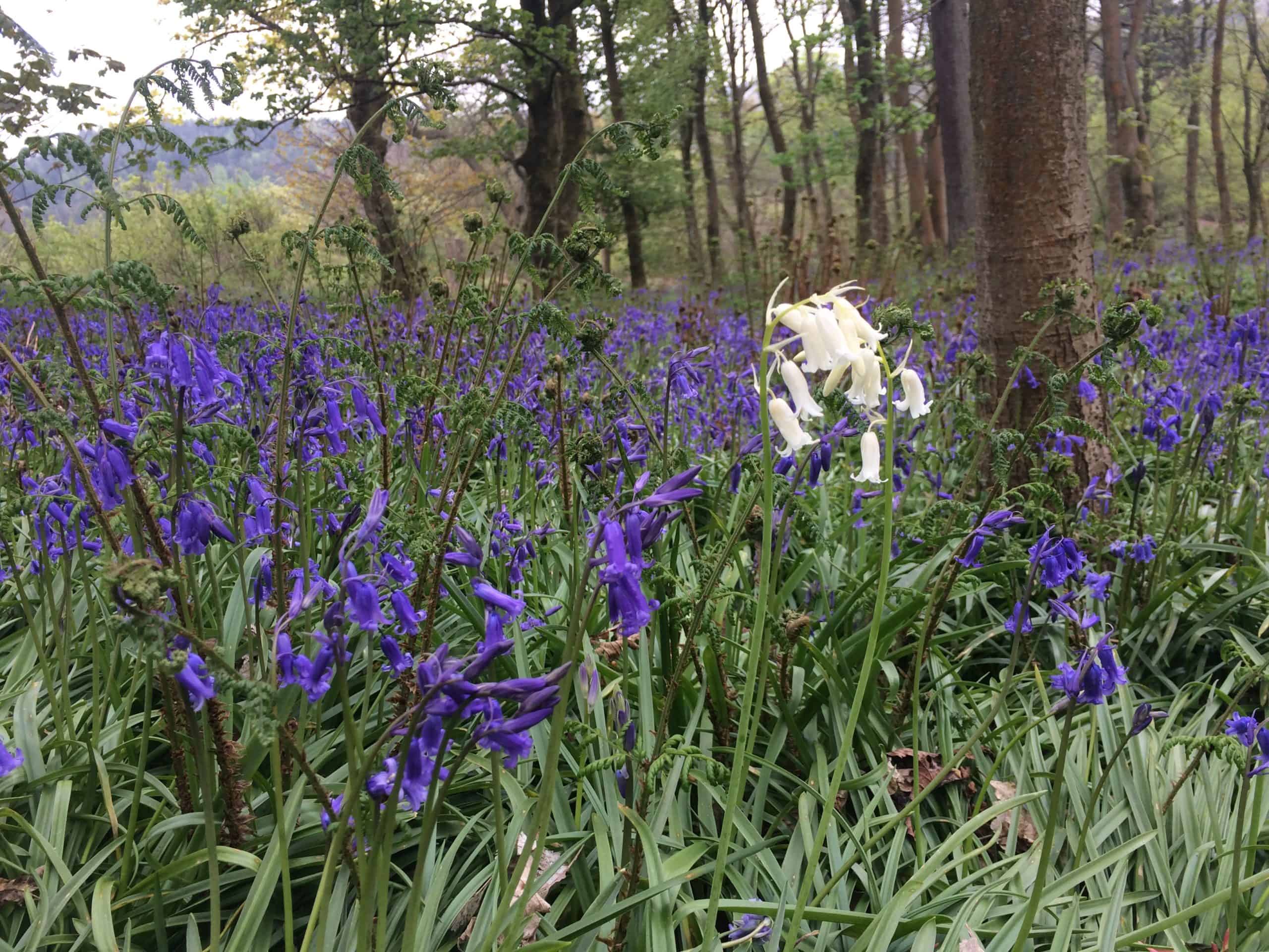
A habitat survey often acts as the basic starting point for a full ecological assessment of a site and involved assessing the botanical status of the site. Several classification systems are available, all of which are standardised systems for classifying and mapping the wider countryside (including urban areas) and ensuring that surveys are carried out to a consistent level of detail and accuracy. Habitat classification systems that Direct Ecology is experienced in using include Phase 1, UKHab and EUNIS. During the survey, natural, semi-natural and artificial habitats are mapped, and the presence of various plant species within each is recorded. This survey is the first step toward understanding the ecology of a site, whether there are notable or sensitive habitats present, and how the habitats may be affected by a development.
If an “extended Phase 1 survey” is undertaken, then notes on protected animal species are also made, and the results from this survey may highlight the need to carry out further species-specific studies in order to fully inform a planning application.
Direct Ecology can undertake habitat surveys tailored to individual projects and objectives, whether that be broad habitat types, Phase 1, UKHab (including at all levels of detail), or EUNIS.
NVC (National Vegetation Classification)
The NVC is a system of mapping habitats, using a set of defined categories of vegetation types found in the UK. The application of this system can provide a detailed assessment of an area of ground, and help for example in micro-siting infrastructure such as wind turbine bases within developments in order to avoid sensitive habitats. The information gained from an NVC survey can also act as a framework for the development of habitat restoration and/or management plans.
Groundwater Dependent Terrestrial Ecosystems (GWDTE)
The Scottish Environment Protection Agency (SEPA) has classified a number of NVC plant communities as Groundwater Dependent Terrestrial Ecosystems (GWDTEs). Communities are scored on their likely groundwater dependency from 1 (high) to 3 (low). NVC communities without a score are not considered to be groundwater dependent.
Ecosystems (wetlands) that critically depend upon groundwater represent the ecological quality of the invisible groundwater bodies. The hydrological linkage between groundwater and the wetland ecosystems that depend upon that is crucial and can be impacted by a variety of activities, including construction, quarrying and forestry. By mitigating the risks that activities pose to groundwater, land managers can improve protection of the wider water environment.
Our surveyors can undertake targeted NVC survey to assess the groundwater dependency scores of communities and the potential impacts of proposals, and to advise on mitigation measures.
Habitat and Ecological Management Plans
We can create habitat or ecological management plans for you, tailored to your requirements. This may be necessary if you have a planning condition which states that you must retain and manage certain ecological features after development has been completed. A habitat or ecological management plan can also be created to satisfy part of a BREEAM requirement. See the Recent Projects page for case studies relating to BREEAM and a Biodiversity Action Plan.
Invasive Species
Direct Ecology has experience of surveying for non-native invasive species such as Japanese knotweed and giant hogweed, which may be required prior to works starting on a site. We can inform you if you have any non-native invasive species on your site and advise you on how to progress.
Peat Depth & Condition
Our surveyors have experience of undertaking peat depth and condition surveys in accordance with standard guidance. These surveys entail defining a regular survey grid within areas of possible deep peat. At each survey point, surveyors record the peat depth and condition of the surrounding peatland, and take general notes and photographs. The results of these surveys are used to inform woodland creation proposals and to identify opportunities for peatland restoration. We have recently been undertaking projects in conjunction with KF Forestry and their sister company Kilrie Trees to deliver the ecological survey element of such Natural Capital projects. See the Recent Projects page for further information.